
3 September 2026 01:46 AM | Last updated: 3 September 01:50 2026
المركز الوطني للأرصاد

الخلاصة

Heavy rain is expected in the eastern and southern regions over the next three days starting Thursday, accompanied by occasional thunderstorms and fog early in the morning, with higher temperatures anticipated on Friday and Saturday.
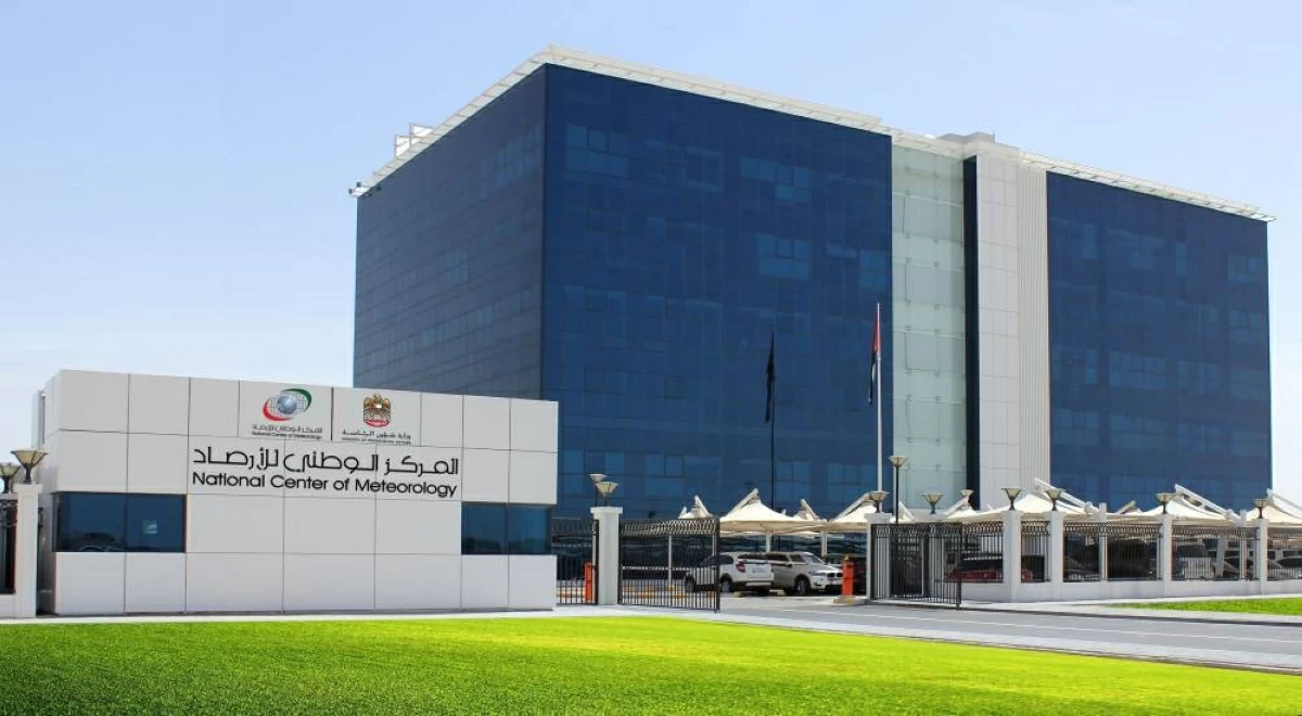
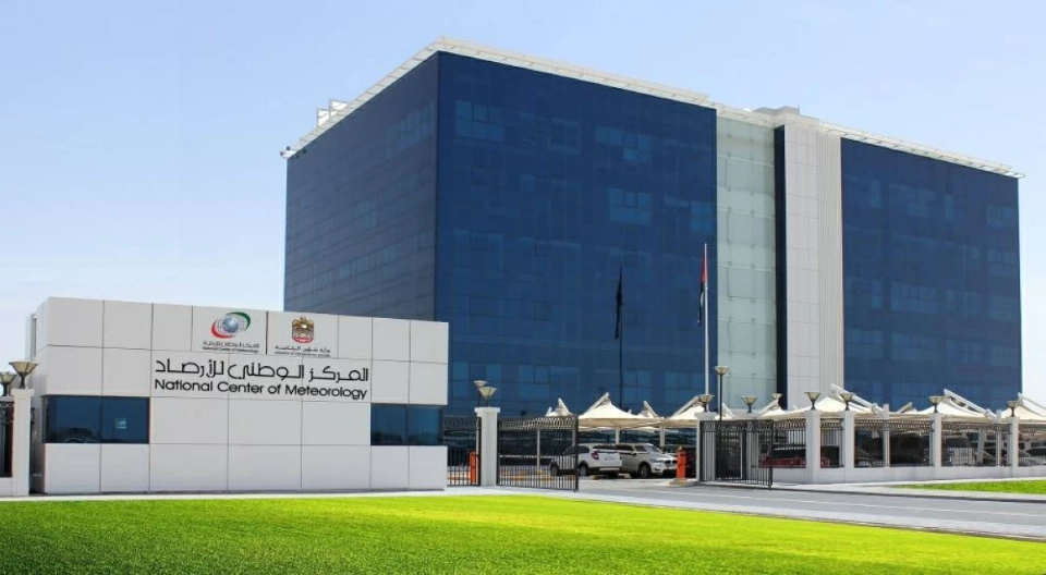
The National Centre of Meteorology has forecast rain in the eastern and southern areas from Thursday afternoon, lasting for a duration of three days, with an expected temperature rise on Friday.
Today’s weather will be generally clear to partly cloudy, with some areas experiencing humidity in the morning, leading to potential fog or light mist. There is also a chance of cumulonimbus clouds developing in the eastern and southern areas later this afternoon, bringing rain.
On Friday, the weather is forecast to remain clear to partly cloudy, with coastal areas likely to experience morning humidity and another chance for fog or light mist. Expect more cumulonimbus clouds in the afternoon, especially in the eastern and southern regions, along with rainfall.
Saturday’s weather will mirror that of Friday, remaining clear to partly cloudy and humid in the mornings along the coast and inland, with a potential for light fog. Again, there may be cumulonimbus clouds forming in the east during the afternoon, possibly leading to rain, as temperatures are predicted to rise.
On Sunday, conditions will likely remain clear to partly cloudy, with coastal areas again experiencing morning humidity and a potential for light fog.
Looking ahead to Monday, clear to partly cloudy conditions will persist, with similar morning humidity expected in some coastal and inland regions.